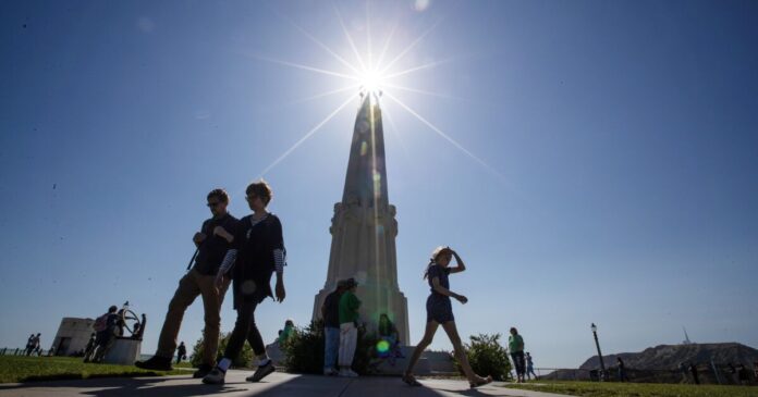
Southern Californians should brace for another few days of high temperatures, as the first heat wave of the summer continues to bear down on the region, increasing risk for wildfires and heat-related illness.
High pressure will bring hot conditions to the mountains, deserts and interior valleys through Monday, with cloudy skies at the beaches and warm temperatures over the coastal valleys, according to the National Weather Service’s forecast. Tuesday and Wednesday are expected to be slightly cooler but still toasty. Significant cooling is expected Thursday, with warmer temperatures expected again next week.
It’s expected to reach 80 degrees downtown Monday with temperatures possibly reaching the triple digits in the valleys, said NWS forecaster David Gomberg. The hottest locations are expected to be in the Santa Clarita Valley and Woodland Hills, where forecasters estimate the temperature may peak at 102. Out in the desert, it could heat up to 108 in Lancaster.
“This is fairly normal — July and August are our hottest months in Southern California for interior areas,” Gomberg said. “It’s certain we’ve seen worse heat waves that lasted a longer duration, so I would call this a more routine heat wave.”
The weather service has issued a heat warning until Monday at 8 p.m. for the Santa Clarita Valley, the Antelope Valley and its western and eastern foothills, eastern Antelope Valley foothills and Antelope Valley. A heat advisory has also been issued for Cuyama Valley, the San Luis Obispo County mountains, Santa Barbara County’s interior mountains, northern Ventura County’s mountains, the Interstate 5 corridor, the western San Gabriel Mountains and the 14 Freeway corridor.
High temperatures are expected to moderate Tuesday to around 80 degrees downtown and the upper 80s and mid-90s in valleys. Santa Clarita and Woodland Hills are still expected to be hottest at 93 to 95 degrees. Deserts are expected to cool down to below 100.
By Thursday, temperatures are expected to drop into the 80s in the valleys and 70s along the coast. It could warm up again early next week around Monday and Tuesday, with temperatures pushing back into the 90s for most of the valleys.
On Sunday, Los Angeles County’s health officer urged the public to prepare against heat-related illness, especially outdoor workers, older adults, young children, athletes and people with chronic medical conditions susceptible to effects from extreme heat.
The county health agency advised people to stay hydrated by drinking water, avoid going outside during the hottest hours, wear lightweight clothing with a hat or an umbrella and use sunscreen. Children and pets should never be left inside cars, even if the windows are open.
Signs of heatstroke include a body temperature of 103 degrees or higher, dry, red or damp skin, a fast heart pulse, nausea, dizziness, confusion and passing out, according to the U.S. Centers for Disease Control and Prevention. Seek medical attention immediately if you’re experiencing these symptoms, move to a cooler place and apply cool cloths to your skin.
The National Oceanic and Atmospheric Administration has predicted a warmer than normal summer. The temperature map shows that in California, especially northern parts of the state, there will be a 33% to 50% probability that temperatures will be above average.
Through Thursday, wildfire risk is heightened for interior valleys, lower mountains and deserts, where vegetation is starting to dry out, Gomberg said. Santa Clarita and the Antelope Valley are “really dry and susceptible to more fire threat issues,” he said. Higher elevations aren’t as dry as past seasons because of all of the rain and snow Southern California received this winter.
Residents can prepare for wildfires by staying up-to-date on evacuation procedures, installing multipaned windows and weather stripping around doorways to keep ash and smoke out of the house and having an action plan.


